Northern Circuit Route
Northern Circuit Route at a Glance
| Day | Route | Approx. Elevation | Hiking Time |
|---|---|---|---|
| 1 | Londorossi Gate → Mti Mkubwa Camp | ~2,100 → 2,750–2,800 m | 3–5 hrs |
| 2 | Mti Mkubwa → Shira 1 Camp | ~2,800 → 3,500–3,600 m | 5–7 hrs |
| 3 | Shira 1 → Shira 2 → Moir Camp | ~3,600 → 4,200 m | 5–7 hrs |
| 4 | Moir Camp → Lava Tower → Moir/High Camp area | ~4,200 → ~4,630 → ~4,200 m | 5–7 hrs |
| 5 | Moir → Buffalo/Pofu Camp | ~4,200 → ~4,000 m | 5–7 hrs |
| 6 | Buffalo/Pofu → Third Cave Camp | ~4,000 → ~3,800 m | 5–7 hrs |
| 7 | Third Cave → School Hut | ~3,800 → ~4,750 m | 5–7 hrs |
| 8 | School Hut → Uhuru Peak → Mweka/Millennium Camp | ~4,750 → 5,895 → ~3,100–3,800 m | 12–16 hrs |
| 9 | Mweka/Millennium → Mweka Gate | ~3,100–3,800 → 1,640 m | 3–5 hrs |
Important: Northern Circuit itineraries vary between operators. Some use School Hut as the summit camp, while others make a southern detour toward Barafu Camp before summiting. The itinerary below follows the classic northern approach via School Hut
Northern Circuit
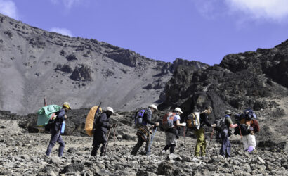
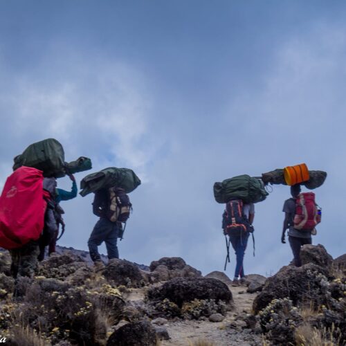
The 9-day Northern Circuit Route is Kilimanjaro's longest standard trekking route. It begins on the western side through the Lemosho approach, crosses the Shira Plateau, circles around the remote northern slopes, approaches the summit from the east near School Hut, and descends through Mweka. The route is typically 9 days / 8 nights on the mountain
Starting elevation: approximately 2,100–2,250 m
Mti Mkubwa Camp: approximately 2,750–2,800 m
Distance: approximately 6–7 km
Hiking time: 3–5 hours
Habitat: Montane rainforest
After breakfast, you leave Moshi or Arusha and drive toward the western side of Mount Kilimanjaro.
At Londorossi Gate, you complete registration and park entry procedures. You then continue toward the Lemosho trailhead.
The trek begins in dense montane rainforest. The trail is relatively gentle on this first day, giving you an opportunity to settle into the mountain environment.
The forest contains a variety of trees, birds and other wildlife, although sightings are never guaranteed.
After several hours, you reach Mti Mkubwa, meaning "Big Tree."
Overnight
Mti Mkubwa Camp
Dinner and overnight in tents.
Starting elevation: ~2,800 m
Shira 1: ~3,500–3,600 m
Distance: approximately 8 km
Hiking time: 5–7 hours
Habitat: Rainforest → heath/moorland
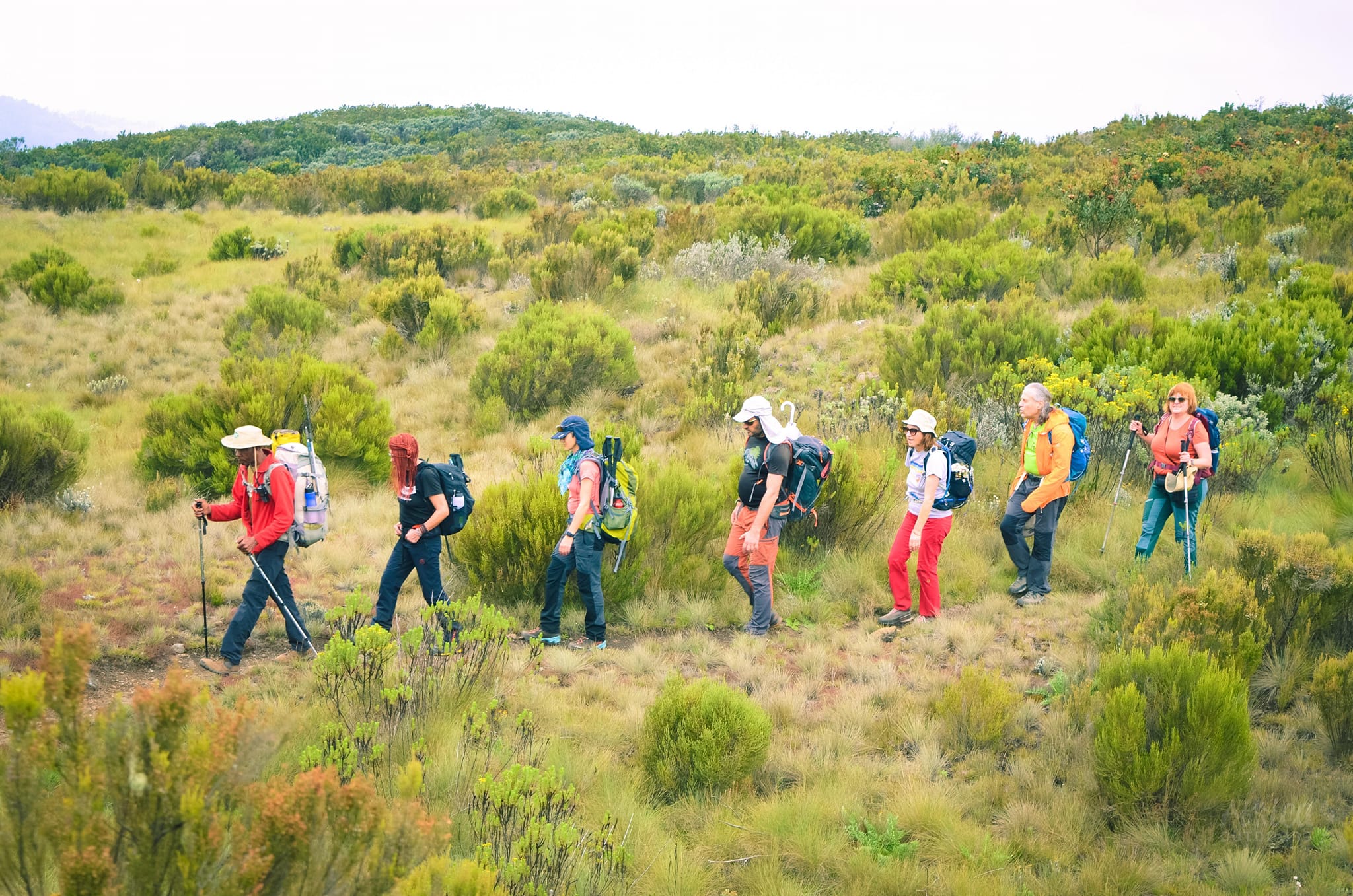
After breakfast, you leave the forest and gradually enter the heath and moorland zone.
The trail becomes more open as you climb toward the Shira Plateau.
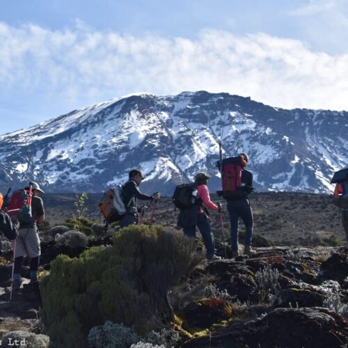
You begin getting spectacular views of Kibo, the main summit cone of Kilimanjaro.
The change in vegetation is dramatic: tall rainforest gives way to giant heathers, grasses, volcanic rocks and high-altitude plants.
You continue across the western edge of the Shira Plateau toward camp.
Overnight
Shira 1 Camp
Dinner and overnight in tents.
Starting elevation: ~3,500–3,600 m
Moir Camp: ~4,200 m
Distance: approximately 10–12 km
Hiking time: 5–7 hours
Habitat: Moorland → alpine desert
Today you cross the spectacular Shira Plateau.
The trail passes through broad volcanic landscapes with views of Kibo and the surrounding peaks.
Depending on the exact itinerary, you pass through or near Shira 2 Camp before continuing toward Moir.
The gradual altitude gain makes this an important acclimatization stage.
You eventually reach the remote Moir Camp, situated at around 4,200 m.
The afternoon can be used for resting or, depending on weather and guide assessment, taking a short acclimatization walk.
Overnight
Moir Camp – approximately 4,200 m
Dinner and overnight in tents.
Starting elevation: ~4,200 m
Lava Tower: ~4,600–4,630 m
Sleeping elevation: around 4,000–4,200 m
Hiking time: approximately 5–7 hours
This is a particularly important acclimatization day.
You leave Moir and climb toward Lava Tower, one of Kilimanjaro's prominent volcanic formations.
You reach approximately 4,600 m, making this one of your highest points so far.
The purpose is not simply to gain altitude but to expose your body to a higher elevation before descending to sleep lower.
This follows the principle:
"Climb high, sleep low."
After spending time around Lava Tower, you descend toward the northern circuit camps.
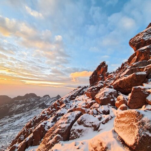
The landscape is now predominantly alpine desert, with sparse vegetation and large volcanic formations.
Overnight
Northern Circuit camp / Moir-area camp, depending on the operator's exact routing.
Some itineraries combine or modify this section, so the precise camp should be confirmed when booking.
Elevation: approximately 4,200 → 4,000 m
Distance: approximately 8–10 km
Hiking time: 5–7 hours
Habitat: Alpine desert / northern slopes
Today you enter the remote northern side of Kilimanjaro.
The trail leaves the western section of the mountain and begins circling around the northern slopes.
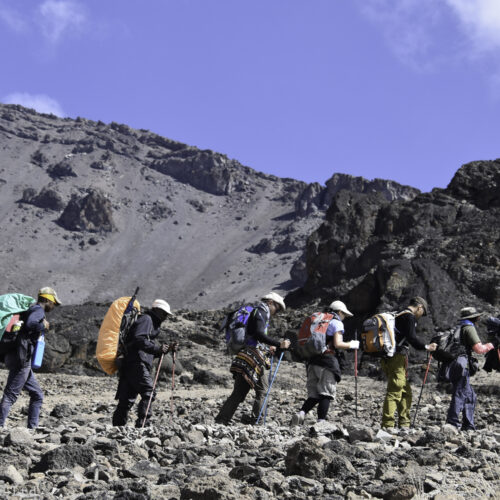
You pass through a landscape of volcanic rocks, ridges and valleys.
The northern side is generally much quieter than the popular southern routes.
Depending on the itinerary, you may pass through or camp at Pofu Camp or Buffalo Camp.
The route provides spectacular views toward the Kenyan plains on clear days.
Overnight
Buffalo/Pofu Camp – approximately 4,000 m
Dinner and overnight in tents.
Elevation: approximately 4,000 → 3,800 m
Distance: approximately 8–10 km
Hiking time: 5–7 hours
Habitat: Alpine desert / northern slopes
You continue eastward around the northern flank of Kilimanjaro.
The terrain consists of a series of small valleys, ridges and open alpine landscapes.
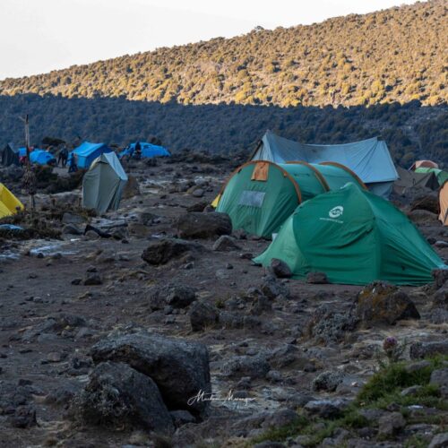
You gradually lose some elevation, eventually reaching Third Cave Camp, located at approximately 3,800 m.
This lower sleeping elevation gives your body another opportunity to recover before the final climb toward the summit.
Overnight
Third Cave Camp – approximately 3,800 m
Dinner and overnight in tents.
Starting elevation: ~3,800 m
School Hut: ~4,750 m
Distance: approximately 7–9 km
Hiking time: 5–7 hours
Habitat: Alpine desert
Today you leave the northern circuit and begin turning toward the summit.
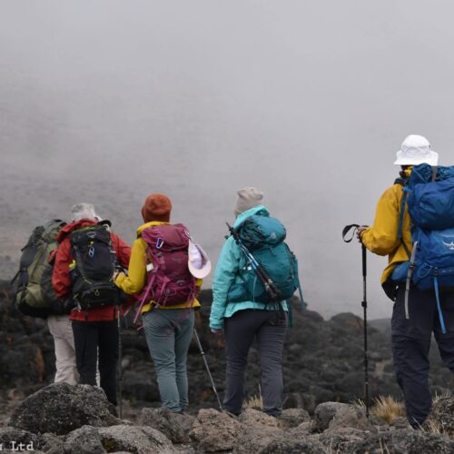
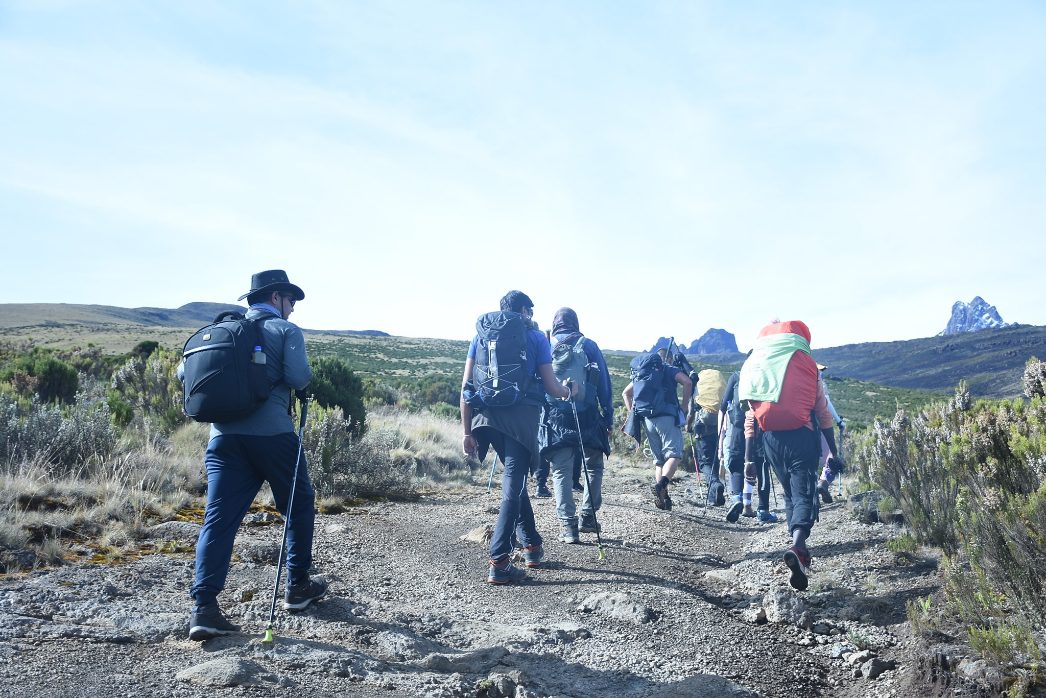
The trail gradually climbs across the barren landscape between Kibo and Mawenzi.
The vegetation becomes extremely sparse as you approach the high-altitude summit zone.
You eventually arrive at School Hut, generally around 4,700–4,800 m.
This is your final camp before the summit attempt.
Afternoon and evening
The rest of the afternoon should be dedicated to:
- Resting
- Hydrating
- Preparing summit clothing
- Checking headlamps
- Preparing trekking poles
- Summit briefing
- Eating an early dinner
- Sleeping as early as possible
Overnight
School Hut – approximately 4,750 m
Summit Day
Starting elevation: approximately 4,750 m
Uhuru Peak: 5,895 m
Descent: to approximately 3,100 m
Total hiking: approximately 12–16 hours
This is the longest and most demanding day of the trek.
You are usually awakened around 11:00 PM–midnight, depending on the group's pace and conditions.
After a light snack and hot drink, begin the summit ascent in darkness.
School Hut → Gilman's Point
The trail climbs gradually but steadily across the volcanic slopes of Kibo.
The terrain consists largely of loose volcanic scree.
The guide sets a very slow pace to conserve energy and reduce unnecessary exertion.
Eventually you reach Gilman's Point at approximately 5,700 m, located on the crater rim.
Gilman's Point → Stella Point
Continue along the crater rim toward Stella Point.
At this altitude, the cold and thin air can make every step challenging.
Stella Point → Uhuru Peak
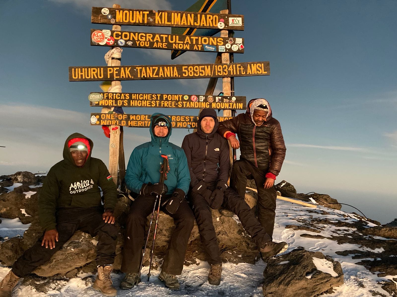
From Stella Point, continue around the crater rim toward the highest point of Mount Kilimanjaro:
Uhuru Peak – 5,895 m.
Spend a short time at the summit for photographs and to celebrate the achievement.
Uhuru Peak → Mweka Camp
After the summit, descend toward the southern side of the mountain.
The descent is much faster than the ascent but can still be physically demanding.
Depending on the operator's exact itinerary and camp availability, the group may descend to Millennium Camp or Mweka Camp.
A commonly used 9-day version descends to Mweka Camp, approximately 3,100 m.
Dinner is served at camp, followed by a well-earned night's rest.
Overnight: Mweka Camp.
Elevation: approximately 3,100 m → 1,640 m
Distance: approximately 10 km
Hiking time: 3–4 hours
Habitat: Montane rainforest
After breakfast, begin the final descent through the rainforest.
The trail can be muddy and slippery, particularly during the rainy seasons.
At Mweka Gate, complete the park exit procedures.
Trekkers who successfully reach the summit receive their Kilimanjaro summit certificates.
After saying goodbye to the mountain crew, transfer by vehicle to Moshi.
End of the 9-day Northern Circuit trek.